
360-degree route review
Navigate captured corridors with visual context and map awareness.
The platform connects 360-degree route imagery, pole review, before/after verification, imports, exports, and project evidence so the survey record can move cleanly from the field to the office. UtilityDrive is the separate secure file-sharing workspace; both products are powered by Utility Specialists of America.
The Utility Specialist is not a generic file viewer. It is built around the jobs utility teams repeat: review the route, confirm the asset, compare the work, export the result.
The platform presents the parts customers and reviewers need: images, map positions, work-item state, confidence signals, user decisions, and deliverable exports. The proprietary capture processing, detection tuning, and review logic remain internal.
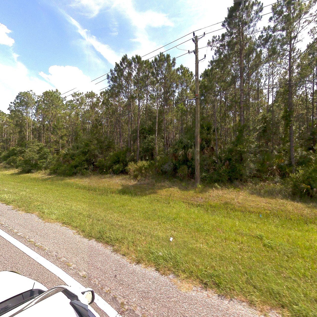
Navigate captured corridors with visual context and map awareness.
Use candidate queues to focus review on likely poles, fixtures, and issues.
Keep deliverables accountable with reviewer decisions, evidence, and state.
Compare re-driven corridors against the baseline record to prove completion.
Desktop capture and processing support field operations when connectivity is imperfect.
Package evidence and structured data for business, GIS, and engineering teams.
We can map the right deliverable package from The Utility Specialist without exposing the internal processing details that make it work.